Gira tu dispositivo para una experiencia óptima
Gira tu dispositivo para una experiencia óptima


Length: 16.2 km
Duration: 5 hours and 30 minutes
Difficulty: Medium
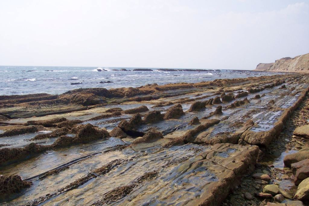
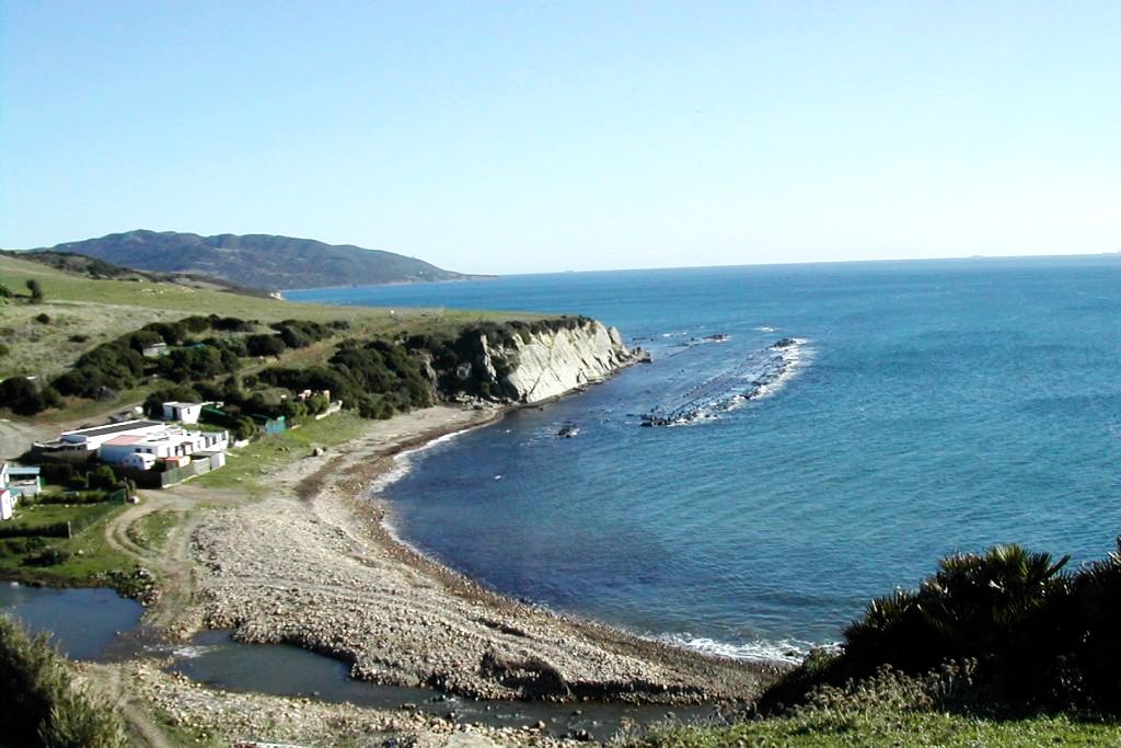
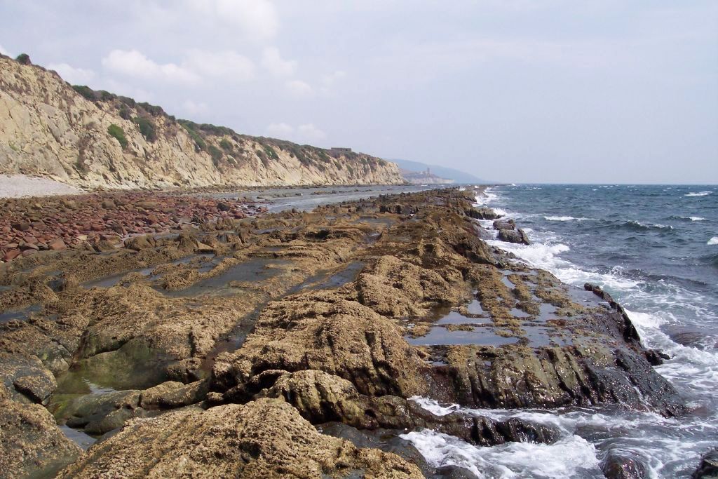
This narrow path that uses a cattle track on the coast passes by the littoral cliffs from Tarifa to Algeciras. The itinerary centers its attention on the impressive views of the African continent along its 16 kilometers, and on the geological formations of the walls of the cliffs and the abrasion platforms of foreshore areas.
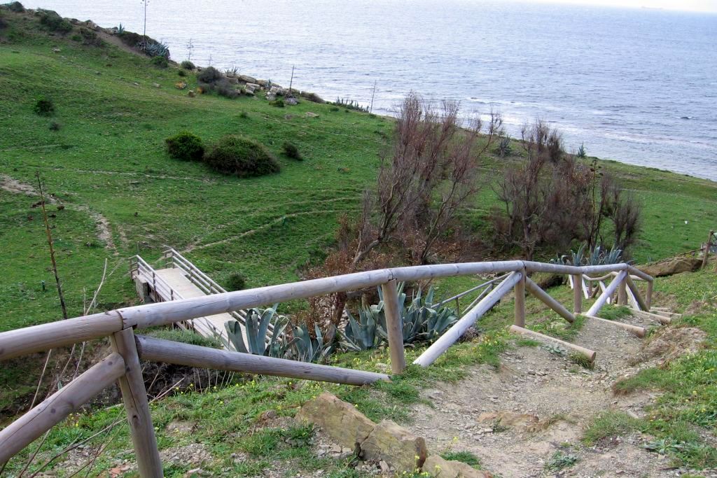
The trail’s intrigue levels rise as we come along bunkers, former Guardia Civil stations and other surveillance and defense constructions. The walking route finishes at the Huerta Grande visitor centre.
Brochure of the trail with further information, technical data sheet, profile of the route, recommendations and topographic map of the route: