Gira tu dispositivo para una experiencia óptima
Gira tu dispositivo para una experiencia óptima


Length: 9.4 km
Duration: 3 hours
Difficulty: low
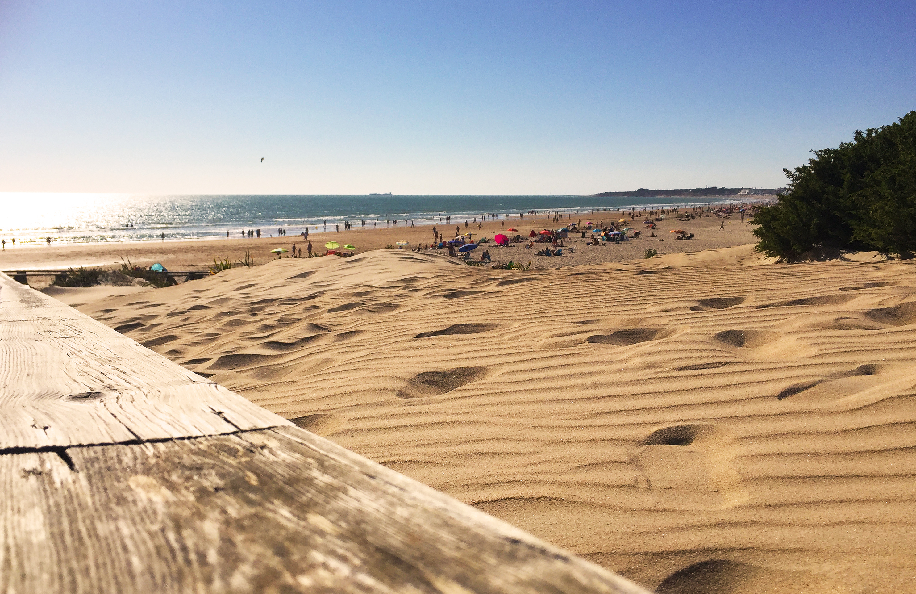
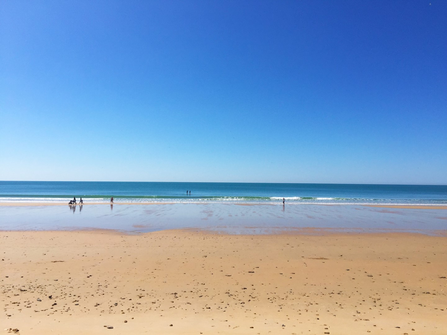
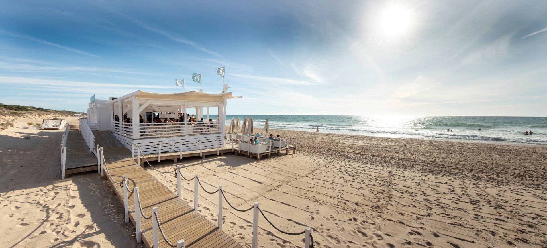
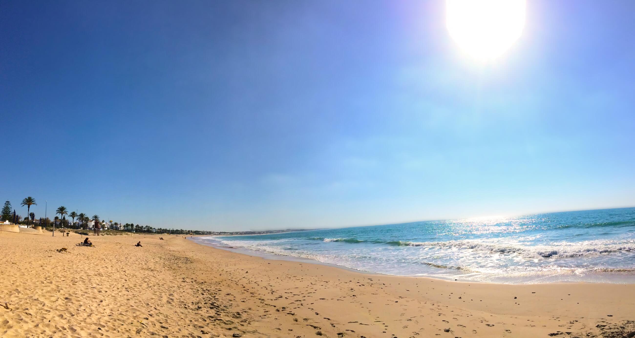
This trail starts from the Torre del Puerco, an old 16th century watchtower. The walk begins with a cobblestone path that runs along a cliff of fossil dunes. During the walk, you can see the various dune formations and the vegetation that stabilises them, such as savin juniper and common juniper. From here, you have to walk along the beach until you reach the promenade. Once you have walked along the promenade, you will find another old watchtower on a cliff, the 16th century Torre Bermeja. Here there are two options: either to continue along the beach if the tide is low, or to walk through the pine groves of La Barrosa, where there are several viewpoints from which you can see the 16th century Sancti Petri Castle, which was part of the line of fortifications protecting the mouth of the river of the same name.
Cómo llegar: Tomar la salida 15 de la Autovía del Sur (A-48), en dirección a La Barrosa, y posteriormente la salida de la Loma del Puerco, donde se inicia el sendero.
Folleto del sendero con información ampliada, ficha técnica, perfil del recorrido, recomendaciones y mapa topográfico de la ruta:
Portal de Diputación de Cádiz, Desarrollo sostenible de los espacios naturales de la provincia de Cádiz.