Gira tu dispositivo para una experiencia óptima
Gira tu dispositivo para una experiencia óptima


Length: 7.1 km
Duration: 2:30 h
Difficulty: Low
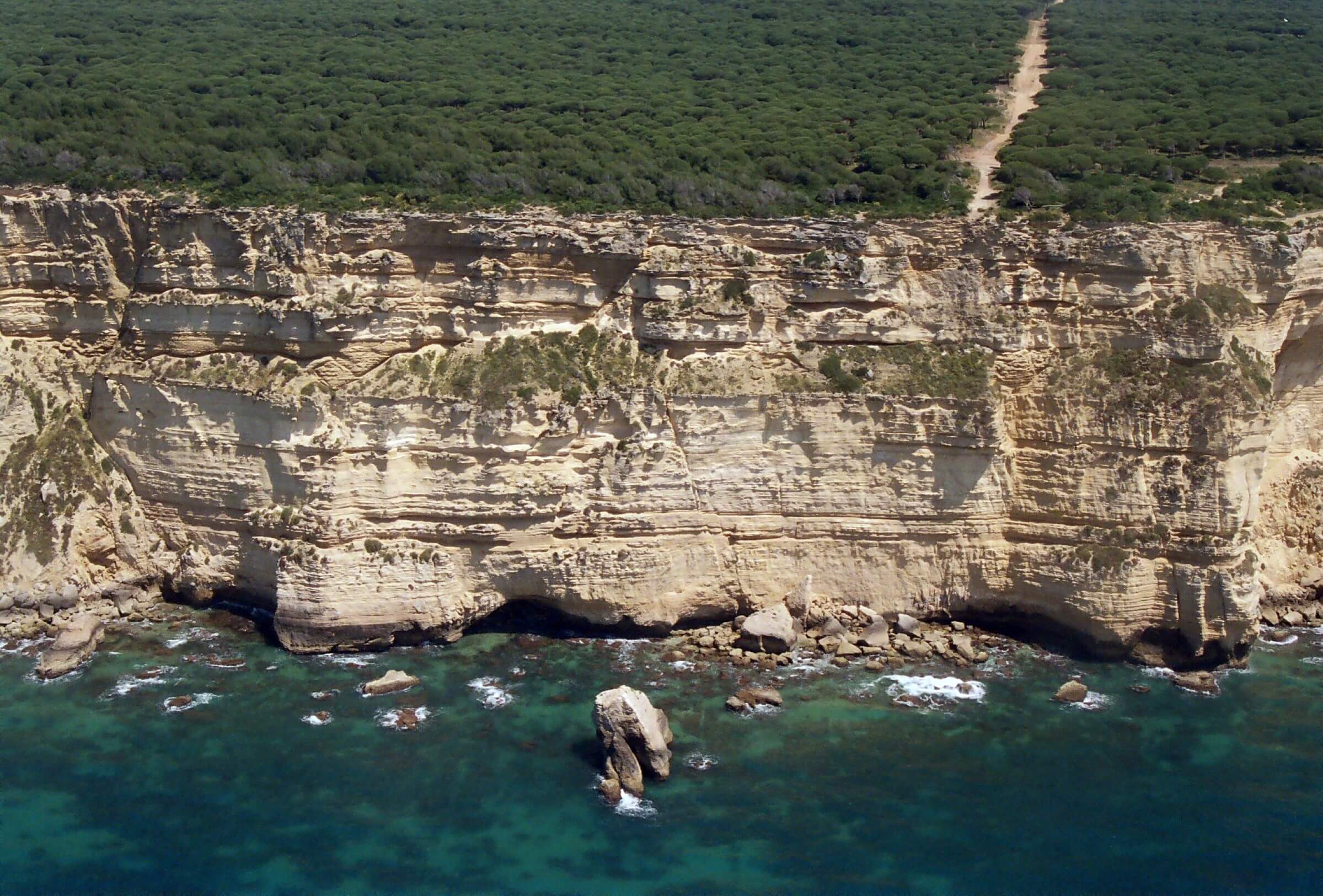
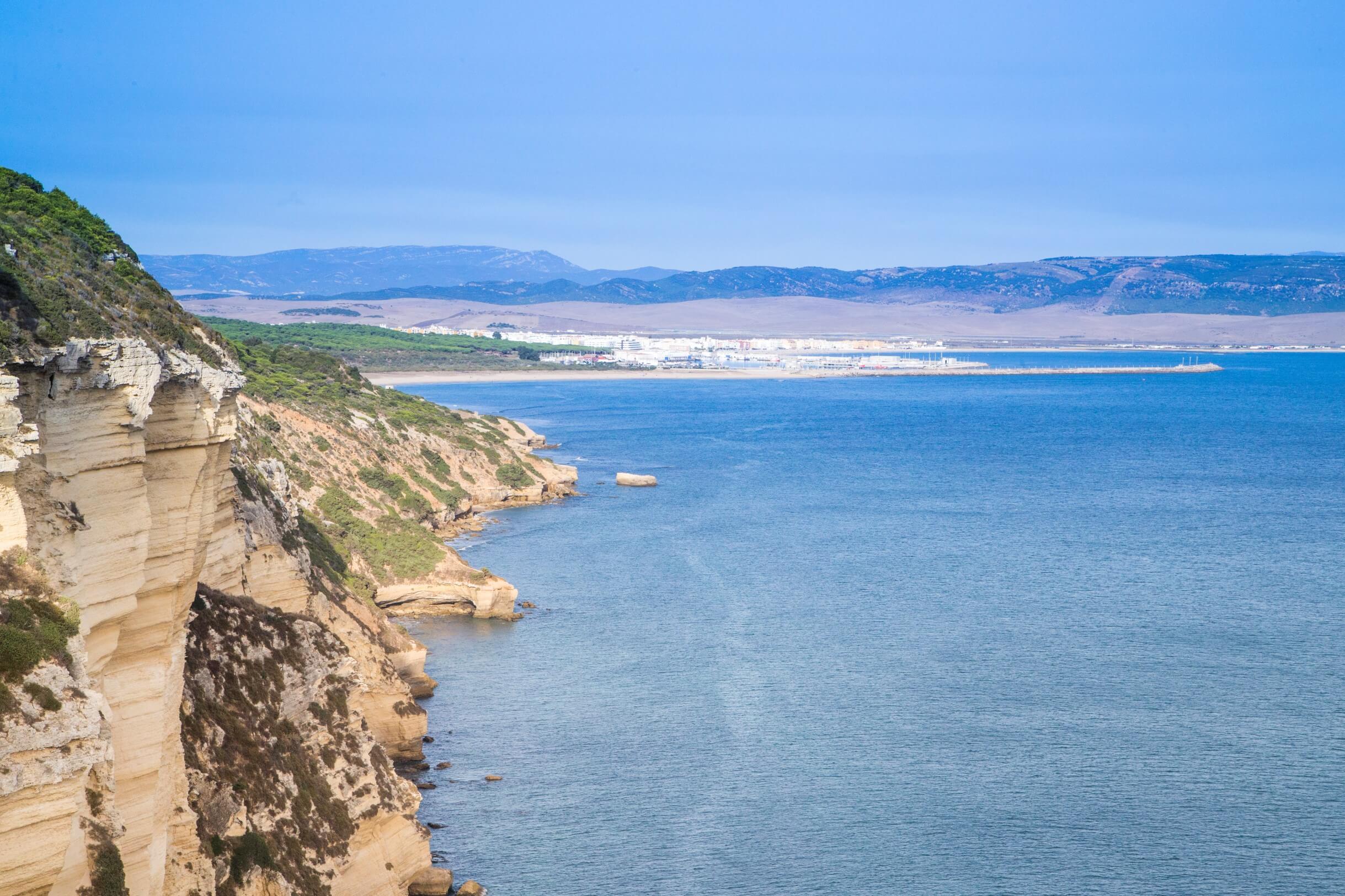
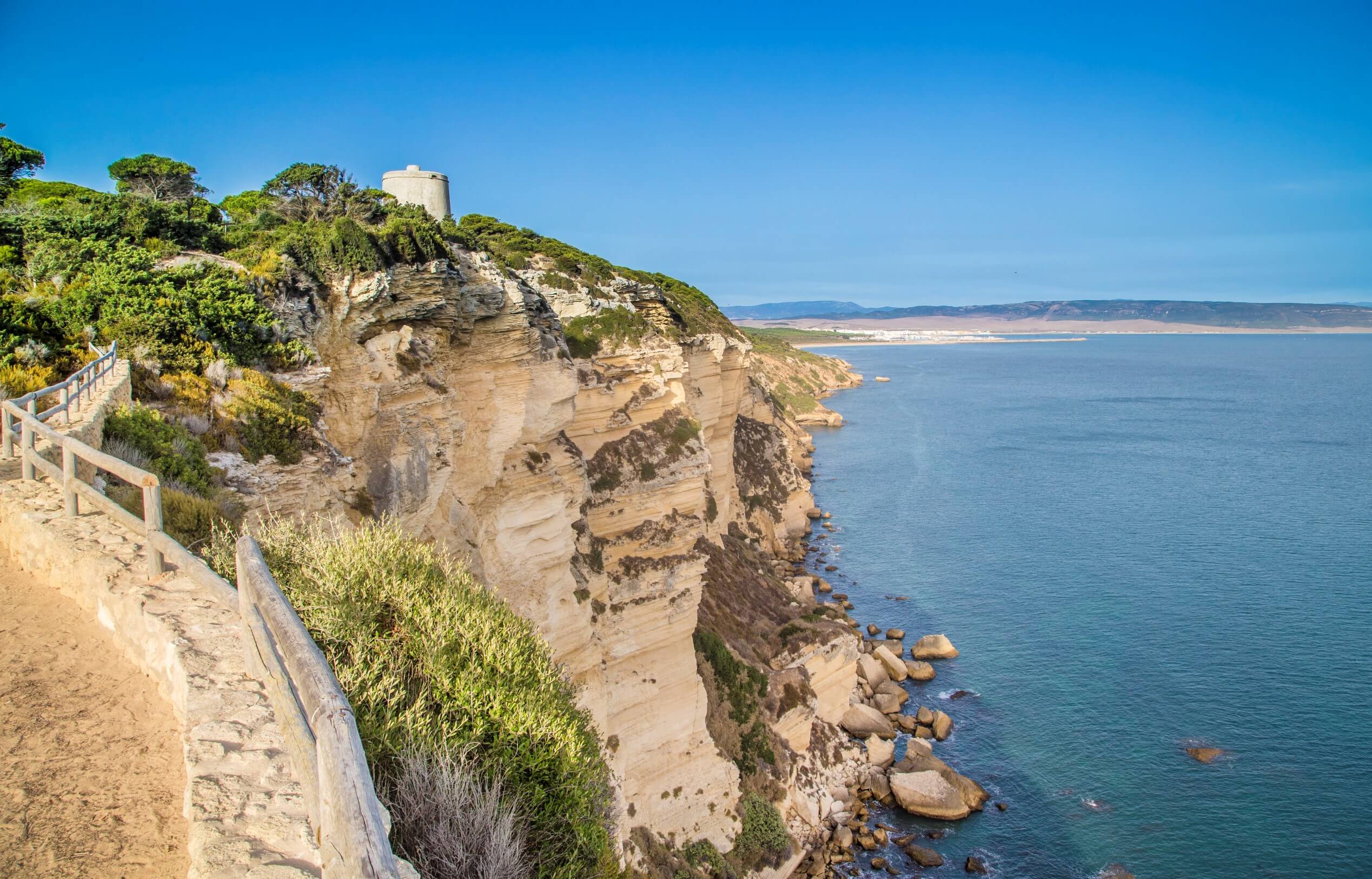
This trail ambles by the edge of the Acantilado de Barbate, a spectacular vertical cliff whose itinerary may be travelled in both directions, with a midway landmark, the Tower of el Tajo, itself with impressive panoramic views.
These walls have been shaped by water, and its permeability has given way to the formation of aquifers that spring off the cliff and receive the name of los Caños (the Pipes) and the Playa de la Yerbabuena (Mint Beach).

Brochure of the trail with further information, technical data sheet, profile of the route, recommendations and topographic map of the route: