Gira tu dispositivo para una experiencia óptima
Gira tu dispositivo para una experiencia óptima


Length: 5.6 km
Duration: 2 hours
Difficulty: medium
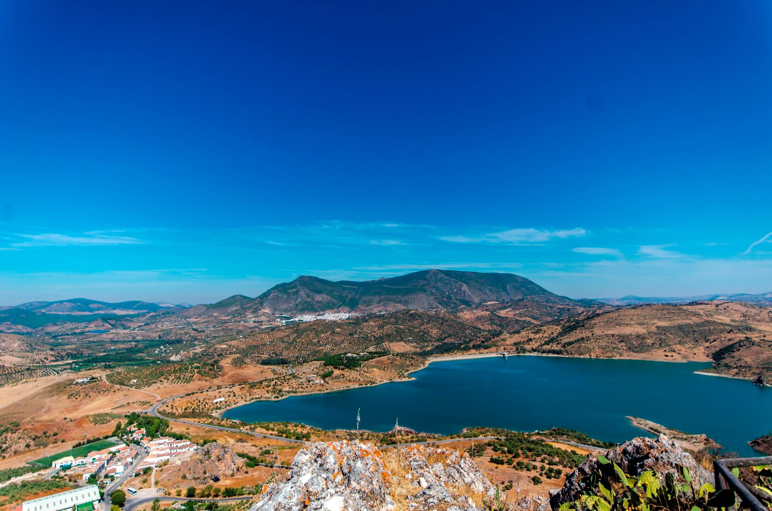
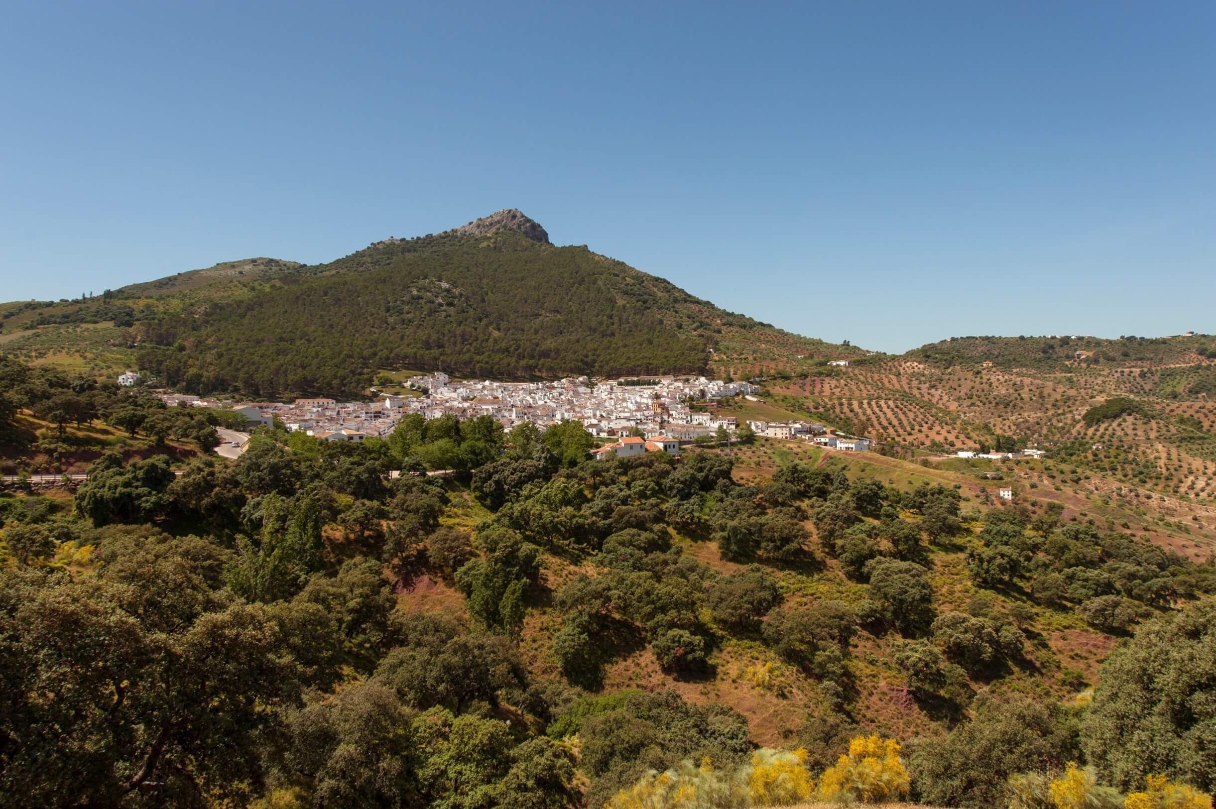
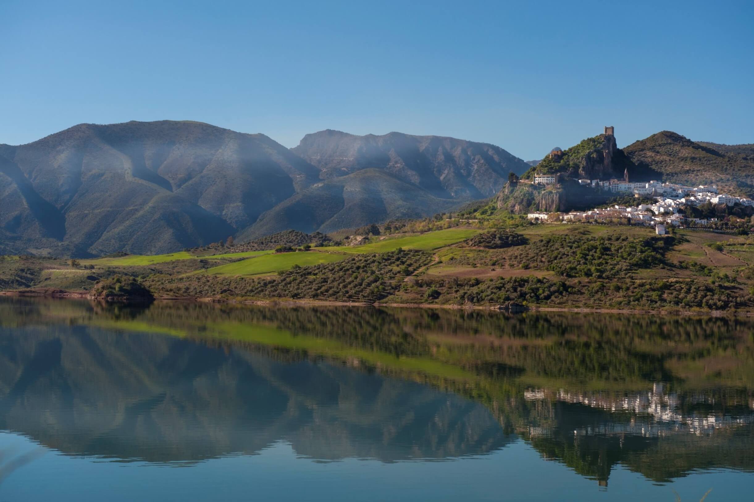
The proposed trail descends from the imposing hill where El Gastor is located to the Zahara-El Gastor reservoir recreational area. This route offers views of all the landscapes of the municipality, ending in the beautiful nearby reservoir. As soon as you leave El Gastor, you can admire the views from the El Jaral viewpoint. Once you have started the descent, you walk past the detour that leads up to the Giant's Grave dolmen, one of the sierra's most important megalithic monuments and well worth a visit. The descent continues past the feet of the Tajo Lagarín, among farmhouses and Aleppo pine forests. After passing the La Zarza farmhouse, you will find the Herrizas mining area, surrounded by old heathlands. The last section descends to the banks of the reservoir where the recreational area is located.
How to get there:
The trail begins on the outskirts of El Gastor, near the corner of Los Corrales and Portezuelo street, where the Ronda road (CA-9114) begins.
Brochure of the trail with further information, technical data sheet, profile of the route, recommendations and topographic map of the route: